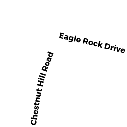
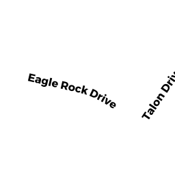
7 REAR EAGLE ROCK DR
Owner Information
SCADUTO, MICHAEL J + MARY L
7 REAR EAGLE ROCK DR
MILLVILLE, MA 01529


Property Details
7 REAR EAGLE ROCK DR is classified as a Undevelopable Residential Land.
7 REAR EAGLE ROCK DR is valued at $3,800. The land is valued at $3,800 and the structures are valued at $0.
This property is in Zone ORD. Confirm with local Zoning Board authorities to ensure there are no overlays or other easements on this property.
7 REAR EAGLE ROCK DR was last sold on Thursday, April 18, 1996 for $1.
Assessment data from fiscal year 2021.
Flood Data
According to the FEMA National Flood Hazard Layer, this property does not appear to be in a flood zone. It may also be in an area not yet reviewed. Nonetheless, confirm this information prior to taking any action.
To view the flood hazards around this property, create a FEMA "Firmette" Map of the area around 7 REAR EAGLE ROCK DR.
Broadband Internet Providers
| Provider | Type | Bandwidth (mbps) | |
|---|---|---|---|
| Charter Communications Inc | Cable | 940 | 35 |
| Verizon New England Inc. | DSL | 5 | 0 |
| Viasat Inc | Satellite | 100 | 3 |
| VSAT Systems, LLC. | Satellite | 2 | 1 |
| HughesNet | Satellite | 25 | 3 |
| GCI Communication Corp. | Satellite | 0 | 0 |
Broadband service provider data from December 2020.
Adjacent Properties
- 11 EAGLE ROCK DR
Single Family Residential owned by ARCHAMBAULT, LUCIEN B + SUSAN - 570 CHESTNUT HILL RD
Single Family Residential owned by STONE JACQUELINE - 560 CHESTNUT HILL RD
Single Family Residential owned by BOHANNON JASON - 550 CHESTNUT HILL RD
Single Family Residential owned by KEARNAN BRIAN J - 7 EAGLE ROCK DR
Single Family Residential owned by SCADUTO, MICHAEL J + MARY L